RO

Regional   Atmospheric   Soaring   Prediction
BLIPMAP FORECASTS
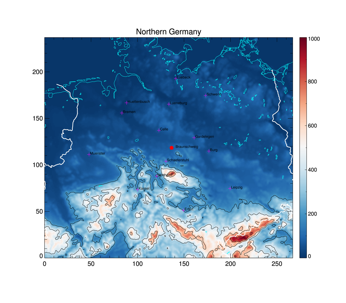
Norddeutschland 2.2km


BLIPMAP stands for "Boundary Layer Information Prediction MAP" -- a model for soaring weather forecast. It has been developed by Dr. John W. (Jack) Glendening ("DrJack"), who is meteorologist and sailplane pilot himself. More information on the meteorological model can be found on DrJack's RASP website. There you also find a discussion forum for questions about the model or problems with the forecast.

Today's forecast uses observations from 12UTC yesterday. Tomorrow's forecast uses observations from 00UTC today. Please check the time imprinted on the maps.

Please note that all maps are experimental and the underlying model is under development. Personally I find the maps useful, but of course I assume no liability for anything and these maps cannot substitute for a real meteorological pre-flight preparation. The pilot is always responsible himself for everything he does.

A file for XCsoar is available for the current day. This file can be used to display within XCsoar the parameters marked with (*) bellow.

Older files are kept in the archive.

The Star Ratings measure qualitatively how good the soaring conditions are on a scale from 0 (horrible) to 5 (excellent) stars. Regions above 5 are marked with a yellow contour. The ratings are based on predictions of the weighted average Thermaling Height (AGL up to the cloud base, sink-rate of 1.15 m/s) between 10:00 to 19:00 LST (1 star /320m between 13 and 15 LST, less outside this interval). Additional adjustments for Thermal Strength (-0.5, +1 star), Cu Potential (+/-0.5 star), Cloud streets potential (+0.25 star), Wind speed (*[0,1]), Buoyancy/Shear Ratio (*[0,1]), and Overcast Development potential (-0.5 star) are applied.
The green contours show vertical upward motion of the air due to the wind (slope or convergence, not wave). The red contours show downward motion. Contours are spaced by 1m/s. If vertical motion contours are present, waves might be triggered if the temperature profile is favourable. Check the wave parameters plots below!.


rating details rating details
Windgrams for Braunschweig ->

Background color: Lapse rate
Arrows: Wind
Clous symbols: Lifted Condensation Level
Black zig-zag lines: Boundary layer top
Paraglider: Thermaling height at 1.14 m/s SR
Numbers: Temperature
White cross-hatching: Clouds are likely
X-axis bottom: Local Standard Time
X-axis top: Updraft strength
Y-axis left: Pressure level
Y-axis right: Height

[more details...]

More windgrams at the bottom of the page


PARAMETER     CURRENT DAY (GFSN 18Z)     FOLLOWING DAY (GFSN 0Z)
[description]   [quick view]   [quick view]
 
Thermal Parameters  
Thermal Updraft Velocity and B/S ratio * loop
09
10
11
12
13
14
15
16
17
18
  loop
09
10
11
12
13
14
15
16
17
18
Depth of Critical Updraft Strength (AGL) * loop
09
10
11
12
13
14
15
16
17
18
  loop
09
10
11
12
13
14
15
16
17
18
Height of Critical Updraft Strength (MSL) * loop
09
10
11
12
13
14
15
16
17
18
  loop
09
10
11
12
13
14
15
16
17
18
Boundary Layer Top (MSL) * loop
09
10
11
12
13
14
15
16
17
18
  loop
09
10
11
12
13
14
15
16
17
18
Boundary Layer Depth (AGL)   loop
09
10
11
12
13
14
15
16
17
18
  loop
09
10
11
12
13
14
15
16
17
18
Buoyancy/Shear ratio (B/S)   loop
09
10
11
12
13
14
15
16
17
18
  loop
09
10
11
12
13
14
15
16
17
18
Thermal Height Uncertainty   loop
09
10
11
12
13
14
15
16
17
18
  loop
09
10
11
12
13
14
15
16
17
18
Surface Heating   loop
09
10
11
12
13
14
15
16
17
18
  loop
09
10
11
12
13
14
15
16
17
18
Normalized Surface Solar Radiation   loop
09
10
11
12
13
14
15
16
17
18
  loop
09
10
11
12
13
14
15
16
17
18
Surface Temperature (2m AGL) * loop
09
10
11
12
13
14
15
16
17
18
  loop
09
10
11
12
13
14
15
16
17
18
 
Wind Parameters  
Surface Wind (10m AGL)   loop
09
10
11
12
13
14
15
16
17
18
  loop
09
10
11
12
13
14
15
16
17
18
BL Averaged Wind   loop
09
10
11
12
13
14
15
16
17
18
  loop
09
10
11
12
13
14
15
16
17
18
Wind at BL Top   loop
09
10
11
12
13
14
15
16
17
18
  loop
09
10
11
12
13
14
15
16
17
18
BL Vertical Wind Shear * loop
09
10
11
12
13
14
15
16
17
18
  loop
09
10
11
12
13
14
15
16
17
18
BL Max. Up/Down (Convergence) * loop
09
10
11
12
13
14
15
16
17
18
  loop
09
10
11
12
13
14
15
16
17
18
 
Upper Level (Wave) Parameters  
Vertical Velocity at 850 hPa (1500m)   loop
09
10
11
12
13
14
15
16
17
18
  loop
09
10
11
12
13
14
15
16
17
18
Vertical Velocity at 700 hPa (3000m)   loop
09
10
11
12
13
14
15
16
17
18
  loop
09
10
11
12
13
14
15
16
17
18
Vertical Velocity at 500 hPa (5500m)   loop
09
10
11
12
13
14
15
16
17
18
  loop
09
10
11
12
13
14
15
16
17
18
Vertical Velocity Section at max   loop
09
10
11
12
13
14
15
16
17
18
  loop
09
10
11
12
13
14
15
16
17
18
VVS Braunschweig NS   loop
09
10
11
12
13
14
15
16
17
18
  loop
09
10
11
12
13
14
15
16
17
18
VVS Braunschweig - Chemnitz   loop
09
10
11
12
13
14
15
16
17
18
  loop
09
10
11
12
13
14
15
16
17
18
 
Cloud Parameters  
Cu Cloudbase where Cu Potential>0 * loop
09
10
11
12
13
14
15
16
17
18
  loop
09
10
11
12
13
14
15
16
17
18
OD Cloudbase where OD Potential>0   loop
09
10
11
12
13
14
15
16
17
18
  loop
09
10
11
12
13
14
15
16
17
18
BL Cloud Cover * loop
09
10
11
12
13
14
15
16
17
18
  loop
09
10
11
12
13
14
15
16
17
18
Surface Dew Point   loop
09
10
11
12
13
14
15
16
17
18
  loop
09
10
11
12
13
14
15
16
17
18
CAPE   loop
09
10
11
12
13
14
15
16
17
18
  loop
09
10
11
12
13
14
15
16
17
18
Mean sea level pressure   loop
09
10
11
12
13
14
15
16
17
18
  loop
09
10
11
12
13
14
15
16
17
18
 
Soundings (SkewT-LogP)  
(1) Braunschweig   loop
09
10
11
12
13
14
15
16
17
18
  loop
09
10
11
12
13
14
15
16
17
18
(2) Schaeferstuhl   loop
09
10
11
12
13
14
15
16
17
18
  loop
09
10
11
12
13
14
15
16
17
18
(3) Celle   loop
09
10
11
12
13
14
15
16
17
18
  loop
09
10
11
12
13
14
15
16
17
18
 
Experimental  
Thermaling height (up to cloud base)   loop
09
10
11
12
13
14
15
16
17
18
  loop
09
10
11
12
13
14
15
16
17
18
1 Hour Accumulated Rain   loop
09
10
11
12
13
14
15
16
17
18
  loop
09
10
11
12
13
14
15
16
17
18
 
Windgrams  
   Braunschweig
  Braunschweig
   Schaeferstuhl
  Schaeferstuhl
   Celle
  Celle
   Gardelegen
  Gardelegen
   Burg
  Burg
   Northeim
  Northeim
   Huettenbusch
  Huettenbusch
   Kassel
  Kassel
   Leipzig
  Leipzig
   Erfurt
  Erfurt
   Muenster
  Muenster
   Lueneburg
  Lueneburg
   Schwerin
  Schwerin
   Bremen
  Bremen
   Luebeck
  Luebeck
 
    [log]   [log]
 

the xcsoar file contains:

Thermal Updraft Velocity: 0 to 4m/s
Depth of Critical Updraft Strength: 0 to 2500m
Height of Critical Updraft Strength: 0 to 3000m
Boundary Layer Top: 0 to 3000m
Cu base: 0 to 3000m
BL cloud cover: 0 to 100%
BL Convergence: -3 to 3m/s
BL Vertical Wind Shear: 0 to 40km/h
Surface Temperature: -10 to 40 C

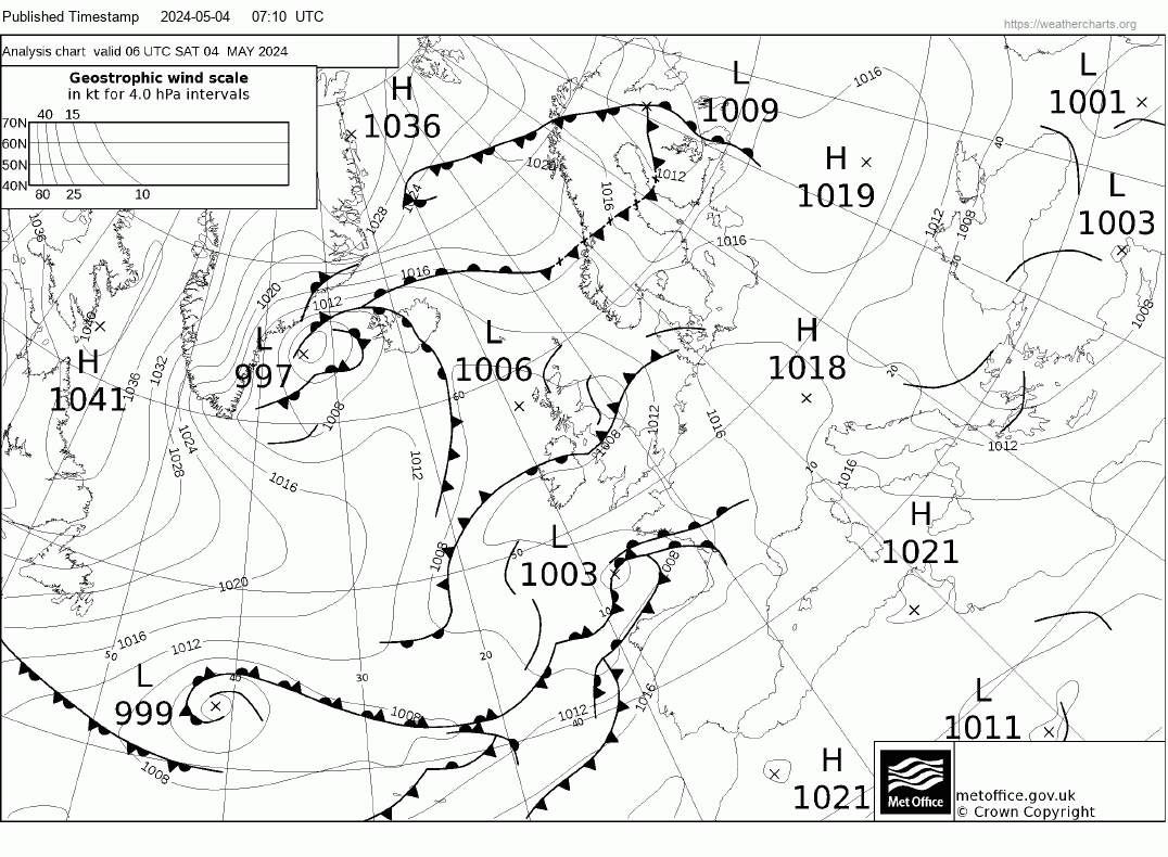
Reading weather charts


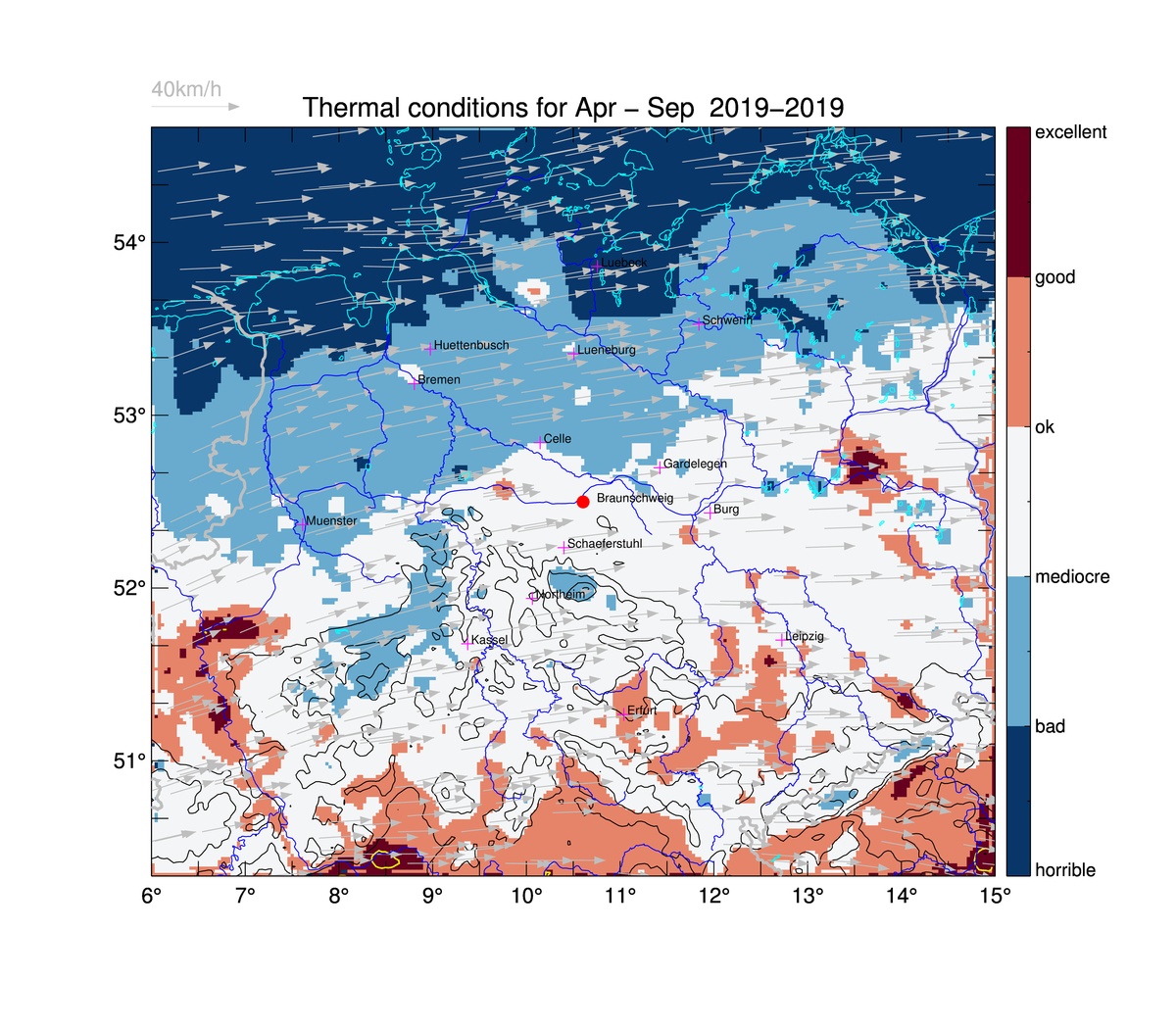
Long term statistics of the thermal conditions can be viewed below .

2019

glidertracker


soaringspot


SkyLtDirect
Top Meteo
XC Skyes
fcst24
XCmeteo

VentuSky
wunderground
storms
weather charts


SkyVector
OpenAIP
OpenFlightMaps
AirTome -- Open source logbook
GpxSee
Thermal HotSpots

Local files

using Free DNS